|
1
|
|
|
2
|
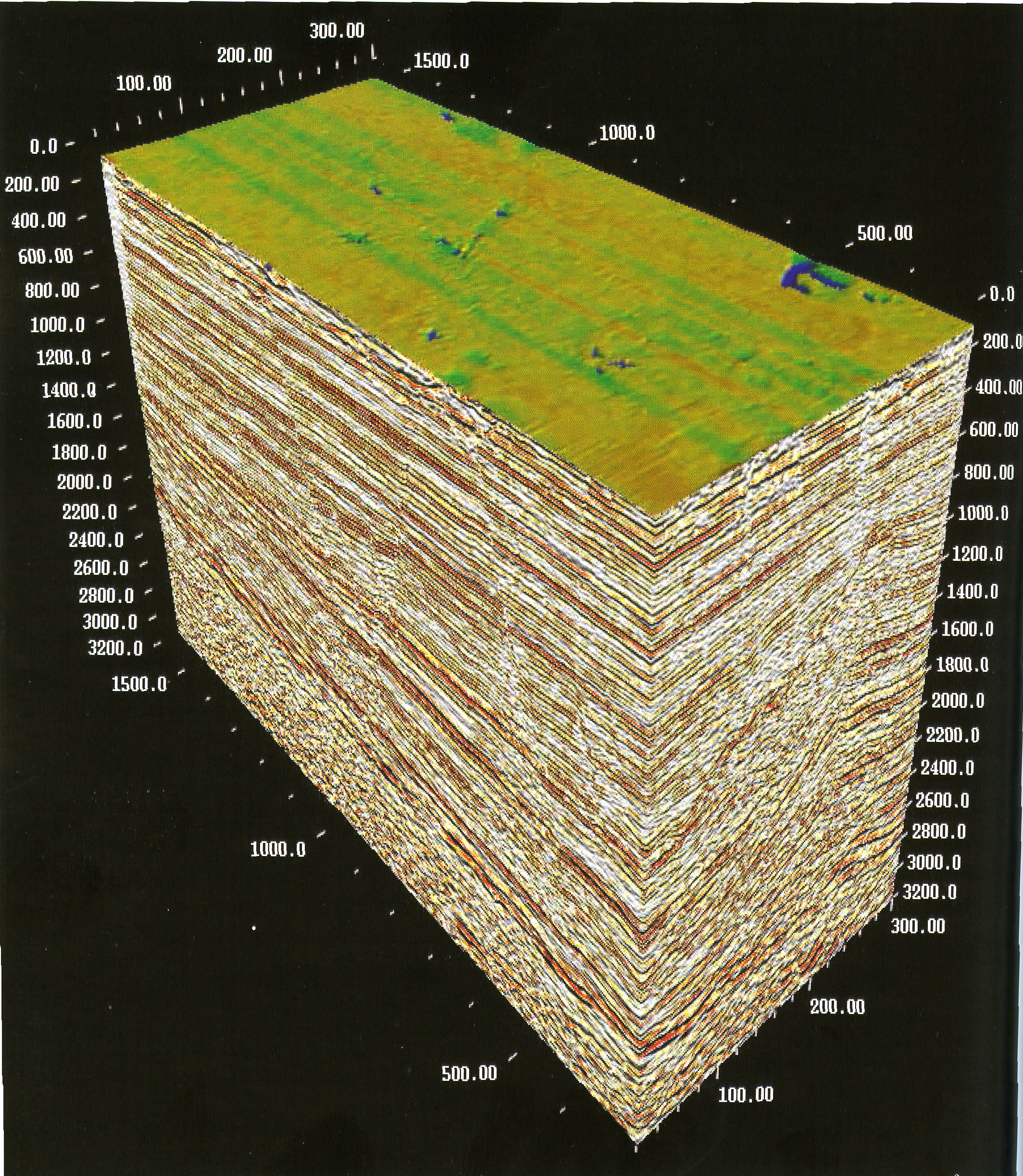
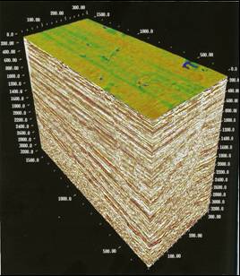
- The only method giving complete picture of the whole area
- Gives by far the best resolution among other geophysical methods
(gravity and magnetic)
- However, the resolution is still limited
- Maps rock properties related to porosity and permeability, and presence
of gas and fluids
- However, the links may still be non-unique
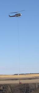
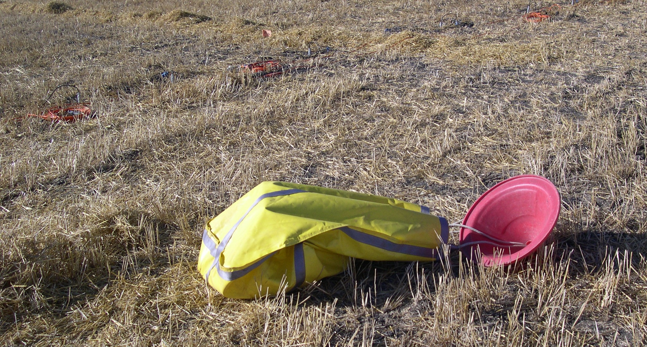
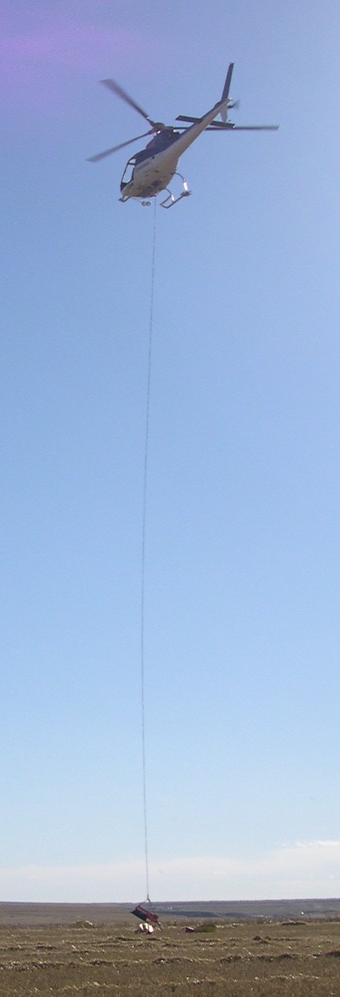
- Requires significant logistical effort
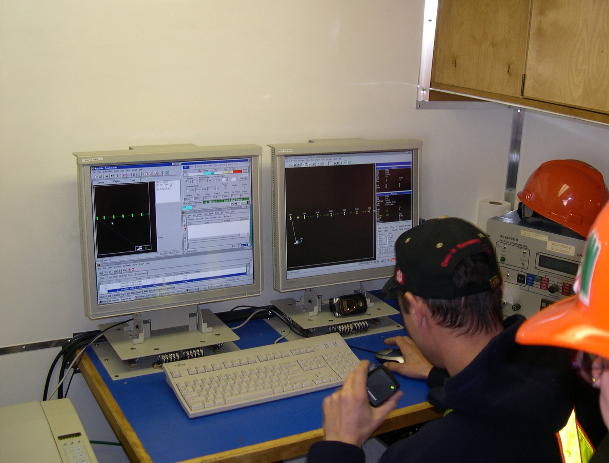
- Relies on extensive data processing and inversion
|
|
3
|
|
|
4
|
|
|
5
|
|
|
6
|
|
|
7
|
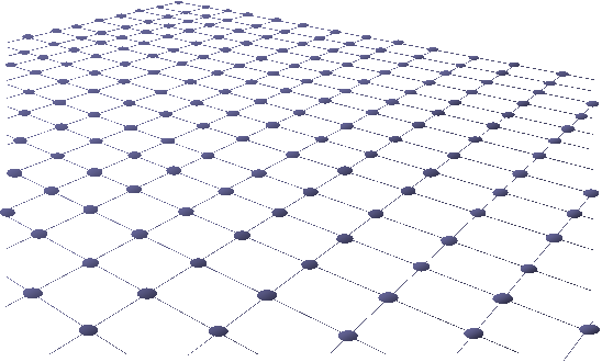
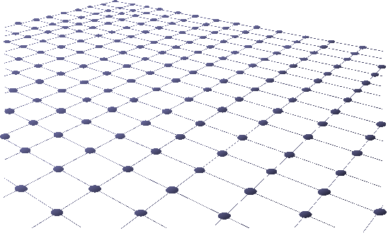
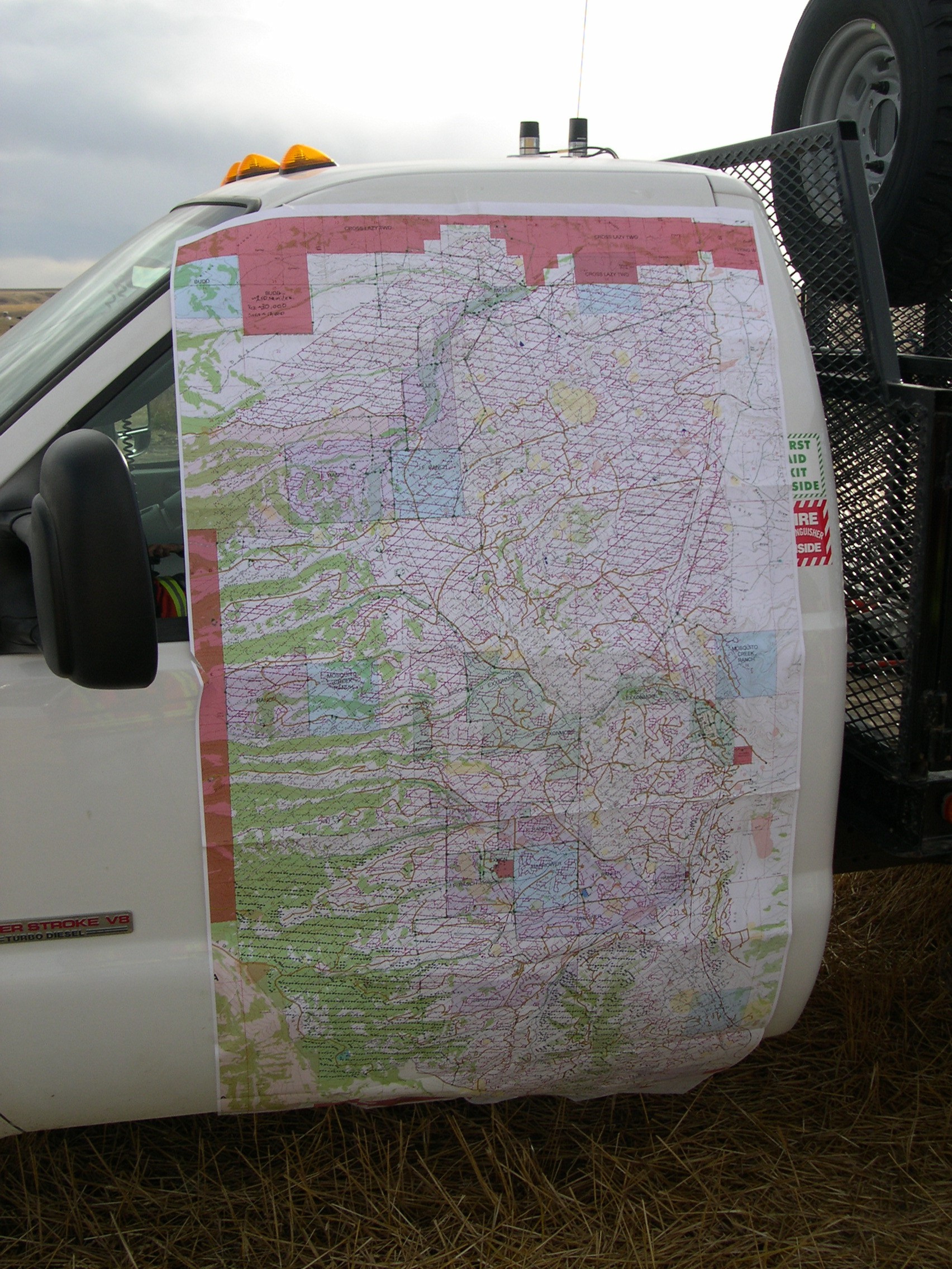
- Start with regional 2-D reconnaissance lines
- Following the initial discovery – detailed 2-D or 3-D
- Repeated 3-D surveys (“time-lapse”, or 4-D) for monitoring changes in
the area during production
- For best survey planning:
- In most cases, need to have a good idea about the target
- Use computerized pre-acquisition modelling
- Key considerations:
- For 2-D – lines should be oriented across-strike of the target
structures
- Cost – minimize the number of source points
- Achieve sufficient multiplicity (“fold”) of coverage
- Achieve uniformity of coverage of the target horizons
- “Undershoot” obstacles and survey edges
- Achieve adequate resolution and fidelity
- Reduce the acquisition footprint (especially important in 3-D)
|
|
8
|
|
|
9
|
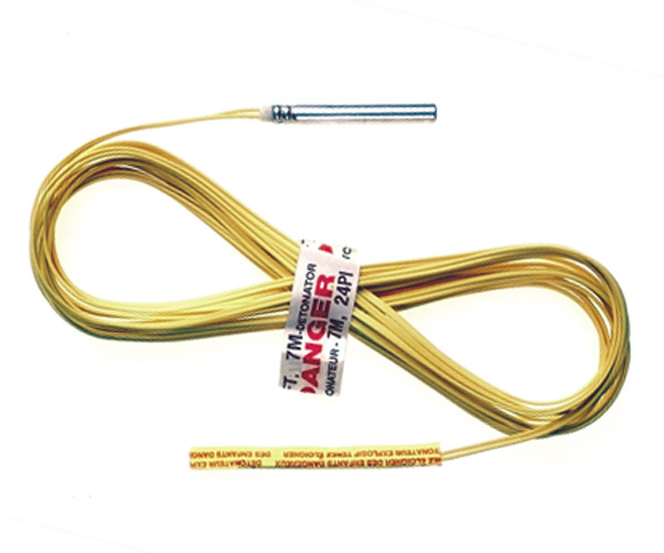
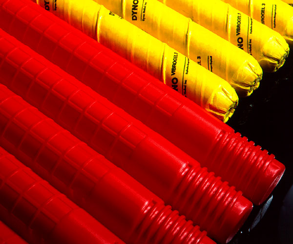
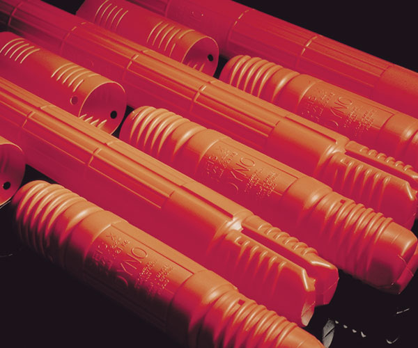
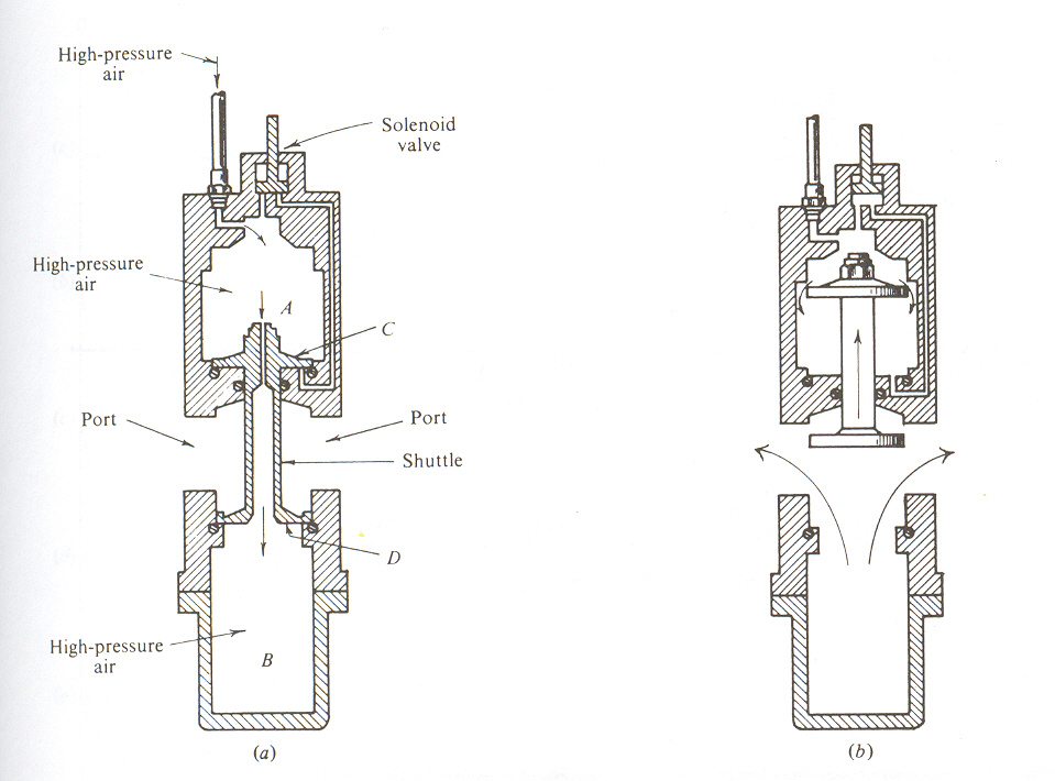
- Gelatin dynamite, ammonium nitrate, pentolite (SEIS-X).
- Packaged in tins, cardboard or plastic tubes ~5 cm in diameter (0.5-5 kg
each).
- Connected to make desired charges.
- Detonated using electrical detonators.
- Best explosives will disintegrate from contact with water when not used.
|
|
10
|
|
|
11
|
|
|
12
|
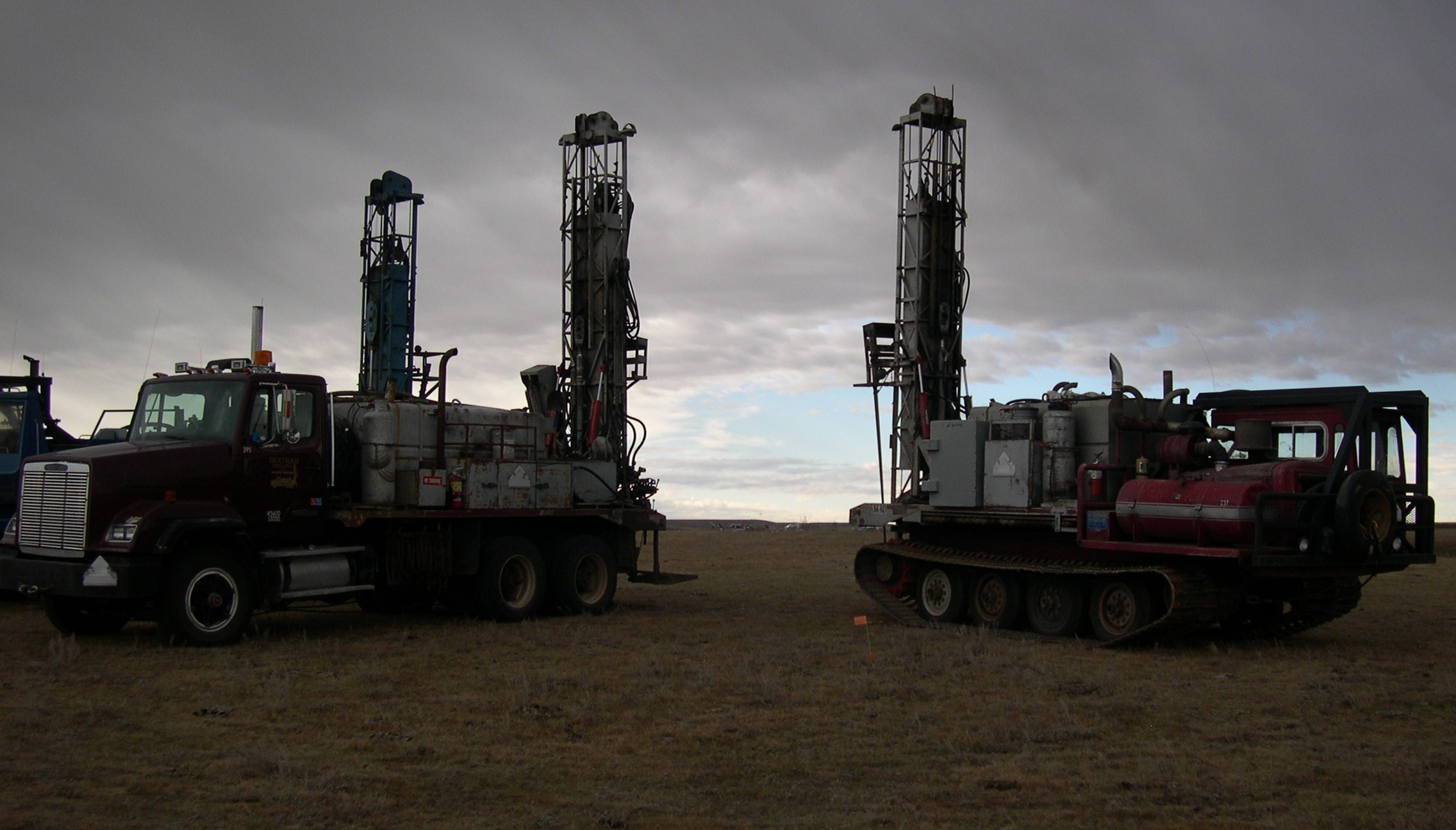
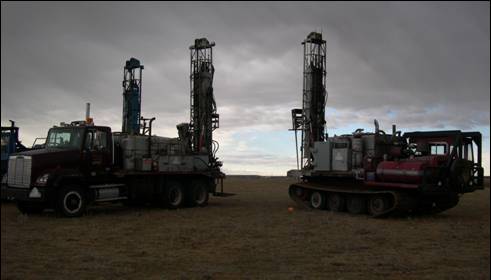
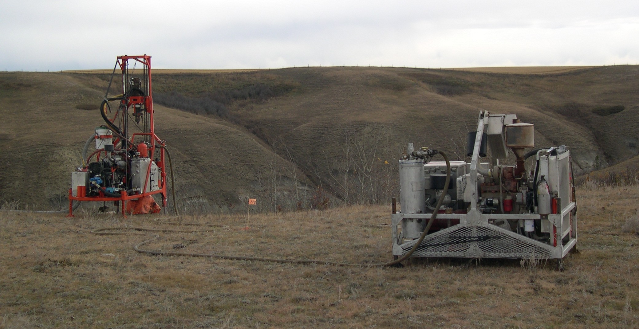
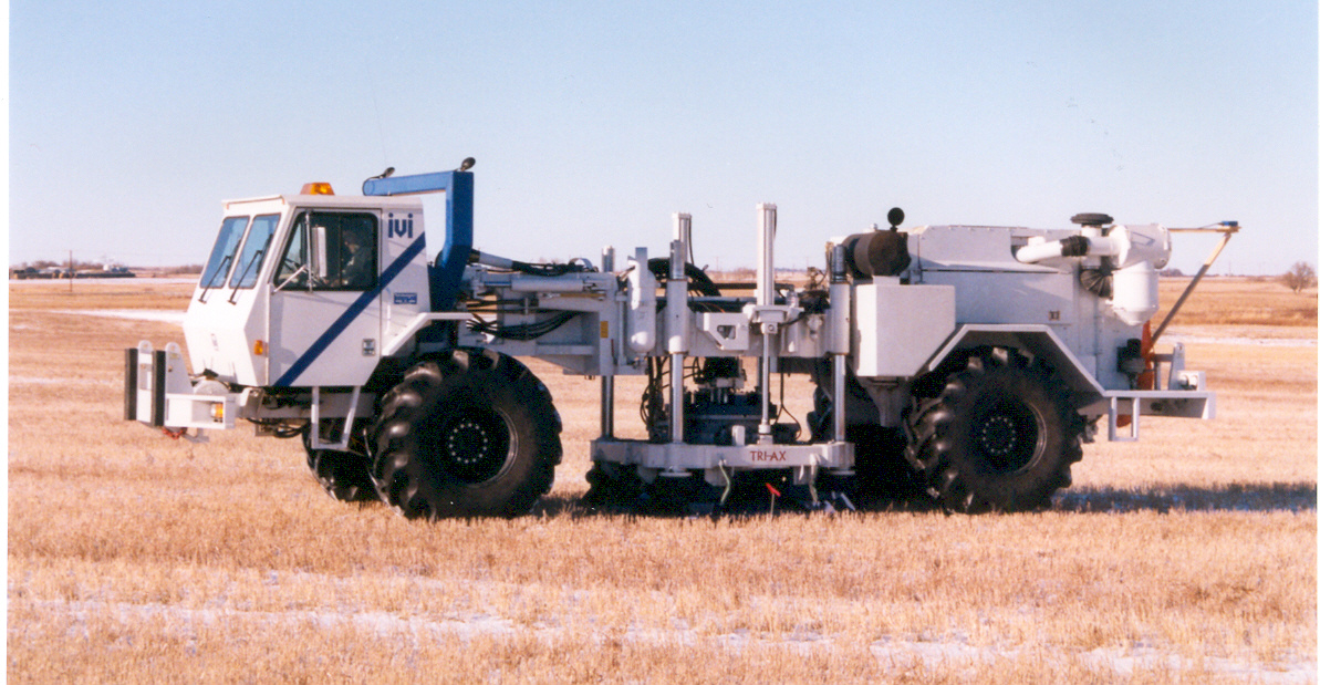
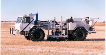
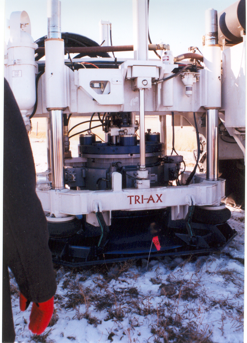
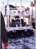
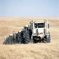
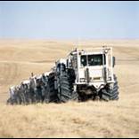
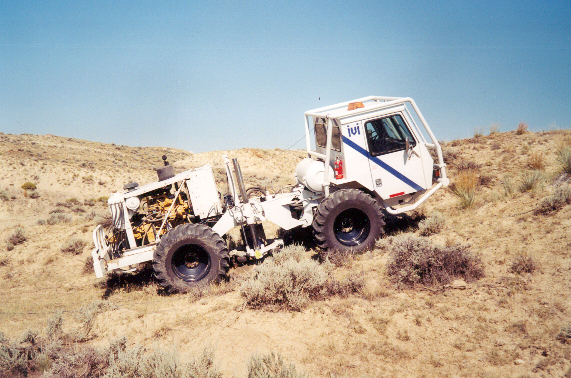
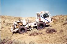
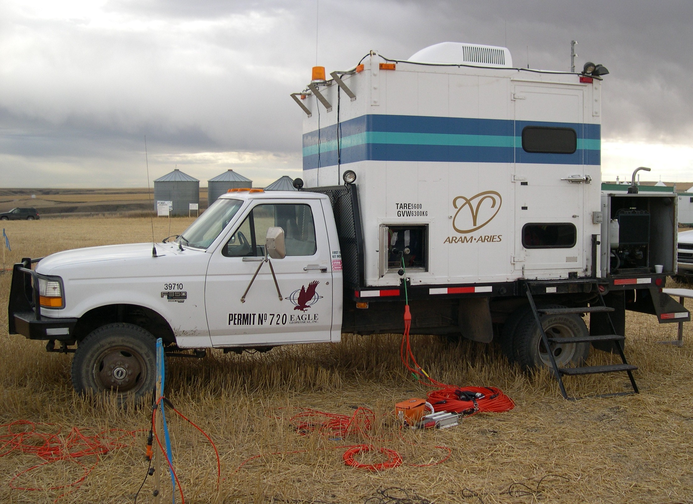
- Rather than using explosions, acoustic energy can be distributed in time
by using a hydraulic vibrator device
- Usually mounted on a heavy truck
- Small borehole vibrators, portable vibrators, and >100-ton
stationary vibrators also exist.
- The signal consists of a quasi-monochromatic “sweep” of gradually
changing frequency, covering ~20-150 Hz
- To produce stronger signal, vibrators are able to operate synchronously
(vibrate in-phase) in a group
- The signal sent into the ground is carefully recorded and afterwards
“correlated” with the recordings to produce an equivalent of impulsive
excitation
|
|
13
|
|
|
14
|
|
|
15
|
|
|
16
|
|
|
17
|
|
|
18
|
|
|
19
|
|
|
20
|
|
|
21
|
|
|
22
|
|
|
23
|
|
|
24
|
|
|
25
|
|
|
26
|
|
|
27
|
|
|
28
|
|
|
29
|
|

 Notes
Notes